
Android powered navigation and moving map display for FSX, FS2004, X-Plane 9/10
FSWidgets GMapHD turns your Android powered phone or tablet into a moving map for your favourite desktop flight simulator including FSX, FS2004, X-Plane 9 and X-Plane 10 (including support for X-Plane 10.20+ 64bit mode).
*** FREE DEMO ***
For the folk commenting saying they didn't know it was a DEMO, we don't know how to make this any clearer. This is a DEMO only, the full version can be purchased from our site.
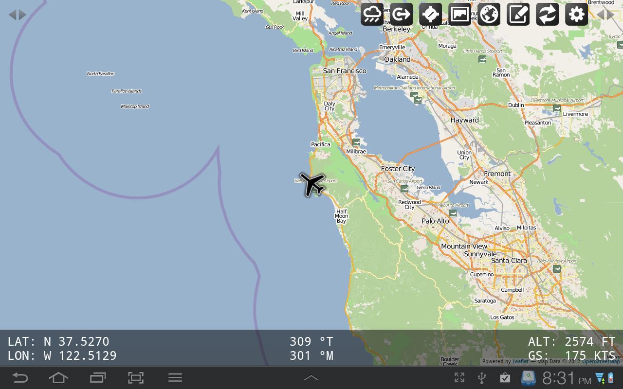
Please note this a fully functioning *free demo* of GMapHD with all features enabled, only limited to the San Francisco (KSFO) area. This allows anyone to establish connectivity and verify the app works well on their device. World-wide map coverage is available from the http://fswidgets.com website.
Main features include:
- Supported Simulators: FSX, FS2004 and X-Plane 9/10 (Windows, Mac OS X 10.5+ & Linux)
- Lightning fast mapping engine powered by Amazon cloud servers
- World-wide custom map data with 14 styles
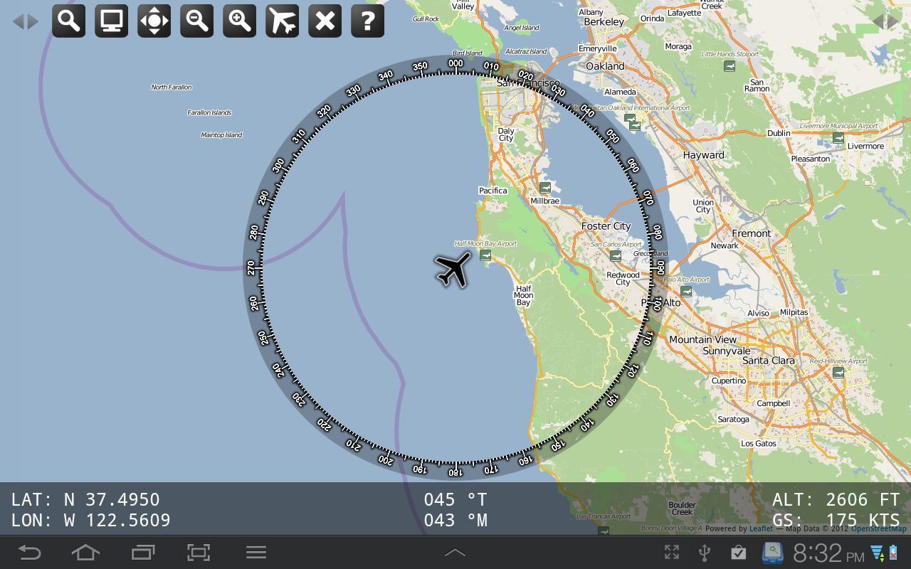
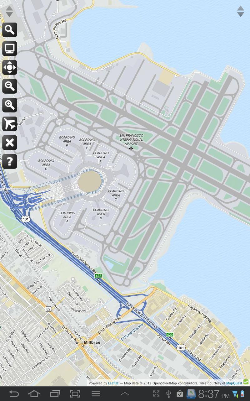
- World-wide navigation aids including airports, heliports, seaports, VORs, NDBs, and Fixes
- World-wide Metar and TAF weather station display
- World-wide Cloud, Rain, Pressure and Wind data layers
- ICAO Search facility
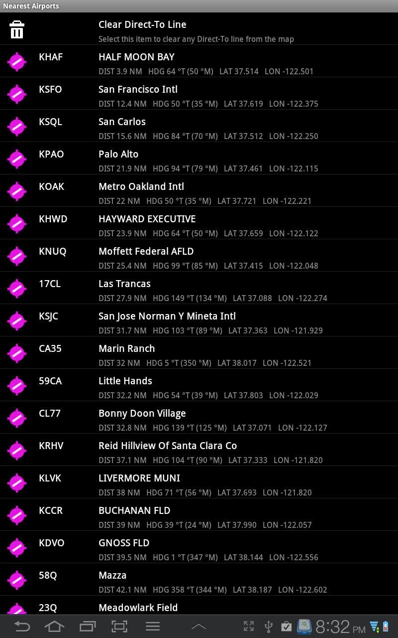
- Nearest airports lookup including distance and heading for airports, seaplane facilities and helipads
- US SEC (Sectional Chart) data for entire contiguous US
- US WAC (World Aeronautical Chart) data for entire contiguous US
- US TAC (Terminal Area Charts) data
- US IFR Enroute High data
- US IFR Enroute Low data
- Helicopter routes for major US cities
- Alaska WAC data
- Cuba and Puerto Rico WAC data
- New Zealand Aero Chart data
- Australia ONC (Operation Navigation Chart) data
- South America ONC (Operation Navigation Chart) data
- Europe ONC (Operation Navigation Chart) data
- Canada ONC (Operation Navigation Chart) data
- Connect & disconnect from the flight simulator as required.
- Aircraft icon or Helicopter icon when connected to desktop computer
- Panning and Pinch to Zoom on supported devices
- Optionally keep the Android screen awake for the long flights
- FSWidgets Network Pack provided free
- Online help file for easy reference
 Download(6.63MB)